waarom je weerapp je vandaag nog teleurstelt bij onweer
Utrecht, dinsdag, 2 juni 2026.
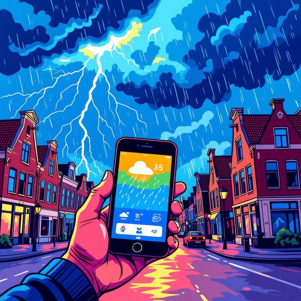
Weerapps geven vaak foute voorspellingen bij plotselinge onweersbuien. Meteoroloog Jordi Huirne legt uit dat dit komt door hoge lokale variabiliteit en beperkte resolutie van weermodellen. Ook al halen apps hun data van het KNMI, kleine verschuivingen in luchtdruk of temperatuur kunnen grote gevolgen hebben. Dat geldt vooral in stedelijke gebieden als Utrecht en Eindhoven, waar convectie snel kan ontstaan. De fouten treden meestal op in de late namiddag. Het betekent dat gebruikers altijd sceptisch moeten blijven tegenover exacte buienverwachtingen. Onweer valt simpelweg moeilijk op de meter nauwkeurig te peilen.
the limits of weather prediction apps
Weather apps frequently mispredict sudden thunderstorms despite relying on official data from the Royal Netherlands Meteorological Institute (KNMI). According to meteorologist Jordi Huirne of Hart van Nederland, this stems from inherent limitations in forecasting models. Localized variability plays a major role, especially during summer afternoons when atmospheric conditions shift rapidly. Even minor changes in air pressure or temperature can drastically alter storm development paths. This makes pinpoint accuracy difficult for automated systems serving broad regions [1].
urban heat and rapid convection effects
Thunderstorm formation is particularly unpredictable in urban environments such as Utrecht and Eindhoven. Cities retain more heat than rural areas due to asphalt and concrete surfaces. This creates localized hotspots that enhance upward air movement, known as convection. When moist air rises quickly, it can form intense storms within minutes. Forecast models often lack the resolution to capture these microclimates effectively. As a result, apps may show clear skies moments before heavy rain begins unexpectedly [1][2].
model resolution and real-time dynamics
The spatial resolution of most public weather models ranges from 2.5 km to 7 km per grid cell. Such coarse granularity cannot account for hyper-local triggers like small-scale wind shifts or thermal boundaries near cities. Thunderstorms depend heavily on fine details in humidity, lift, and instability—variables that evolve too fast for standard hourly updates. While advanced radar detects ongoing precipitation, predicting where new cells emerge remains challenging. Hence, users should treat app forecasts as probabilistic rather than definitive [1][3].
afternoon patterns and forecast reliability
Most unexpected downpours occur between mid-afternoon and early evening, typically from 15:00 onward. During these hours, solar heating peaks and fuels convective activity across densely populated provinces. A recent KNMI warning highlighted risks in central and eastern Netherlands, including Utrecht and Eindhoven, confirming regional vulnerability [4]. Despite improved technology, apps struggle to anticipate exact timing and location. Experts advise checking live radar feeds alongside app data and maintaining skepticism toward precise minute-by-minute predictions [1][4].